Wheelmap Uses Crowd Wisdom to Make the City More Inclusive
Wheelmap is the world's biggest crowdsourced and open database for wheelchair-accessible places. The initiative hopes to contribute to a more inclusive city for people with mobility impairments.
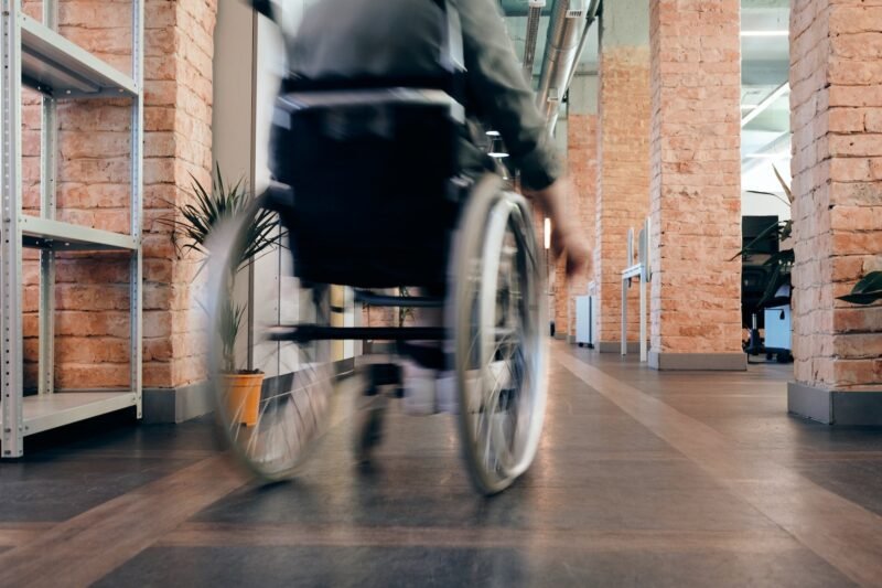
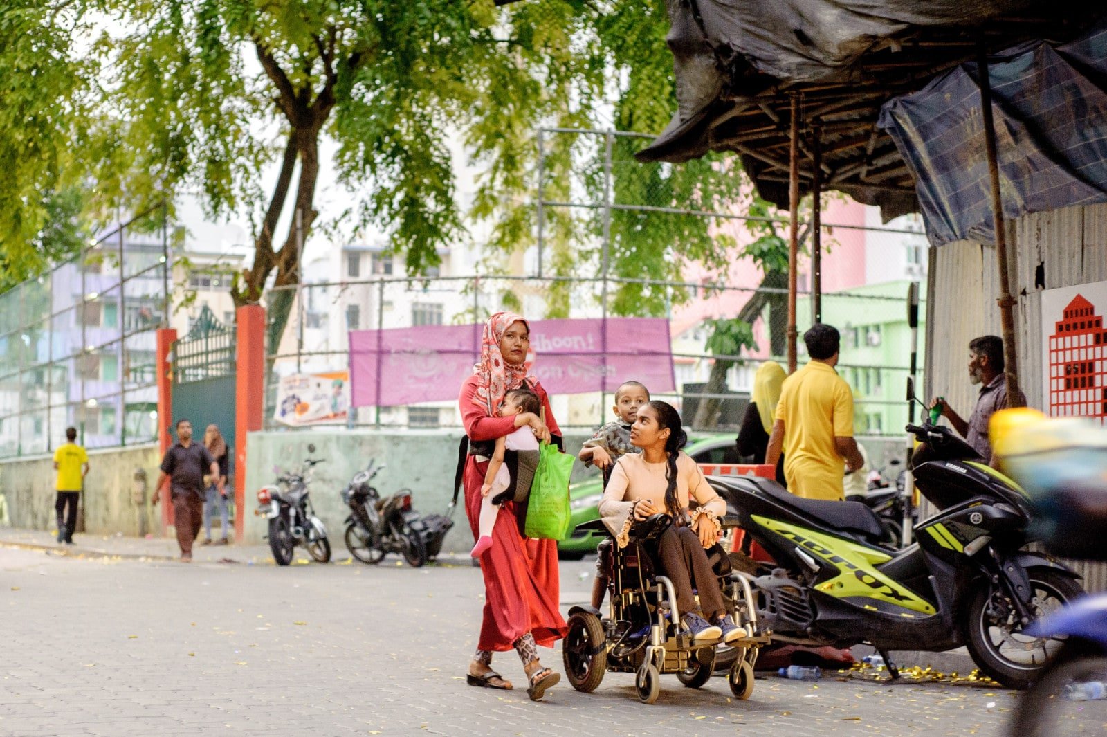
Wheelchairs, purpose-built cars, lifts and ramps allow people with mobility impairments to live their daily lives independently to a large extent. It is of great importance to consider the mobility of these people when planning our cities and to make cities more inclusive and movement-friendly for all. Just a single step at the entrance to a public space can be a major obstacle, and this is where the Wheelmap comes in. Wheelmap helps make society more user-friendly and inclusive. It aims to achieve this goal by using emerging and accessible technologies, such as open data, crowdsourcing, eGovernment, data matching and E-Participation. Wheelmap aims to bring forward the voices and needs of people with disabilities who are limited in their access to public places due to mobility restrictions, and shows how technology can improve their quality of life.
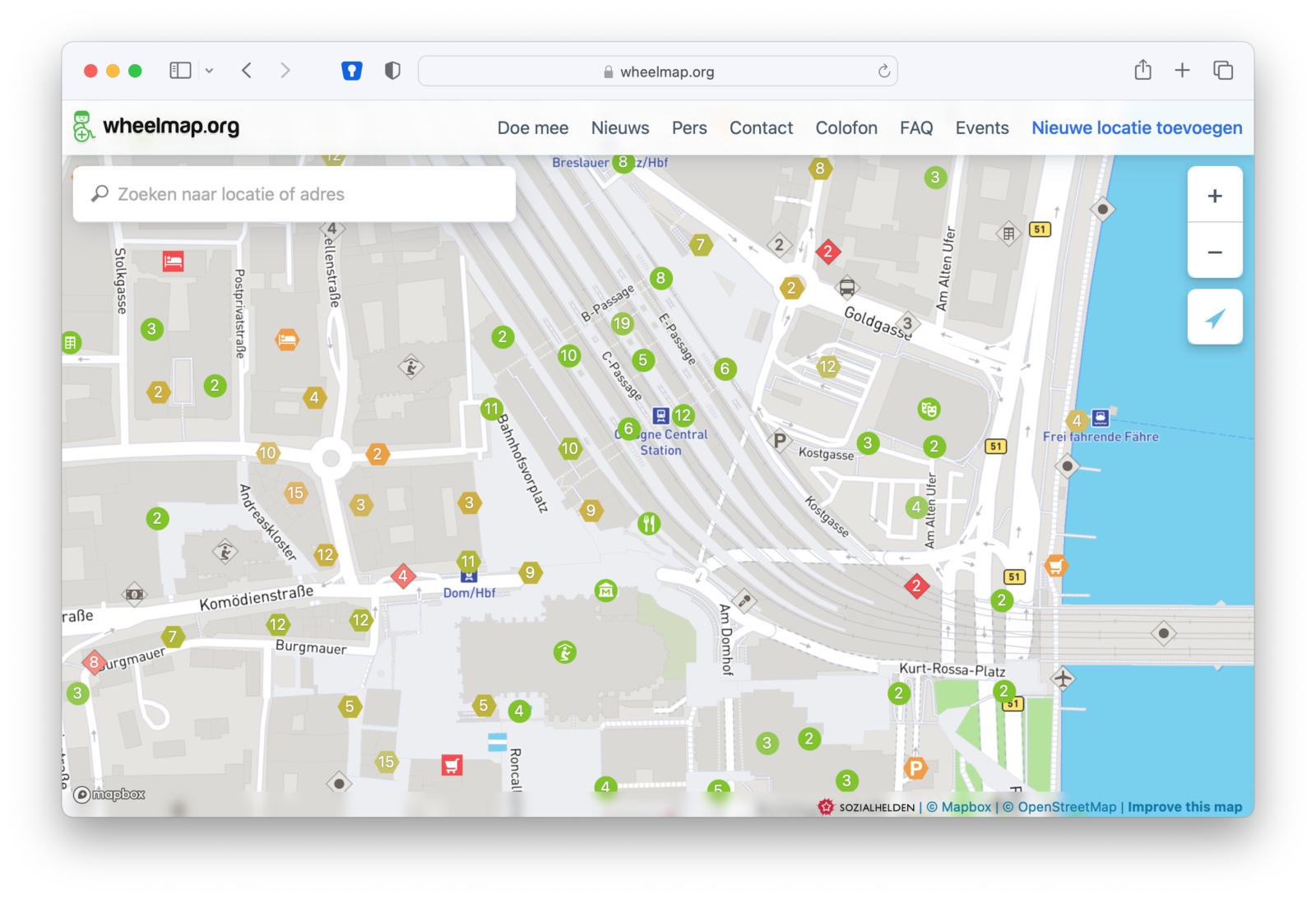
Information on millions of public spaces is currently available on Wheelmap. All Wheelmap users can share information with other users about how accessible a location is; users can easily find places, add them to the map and rate their accessibility using a traffic light system – globally and for free. The aim of the Wheelmap is to raise awareness among owners of wheelchair-accessible places so that they think about and improve the accessibility of their buildings. Moreover, by marking accessible places, the map contributes to a less frustrating and active lifestyle for wheelchair users.